GeoAI – CHANCES AND CHALLENGES
CV
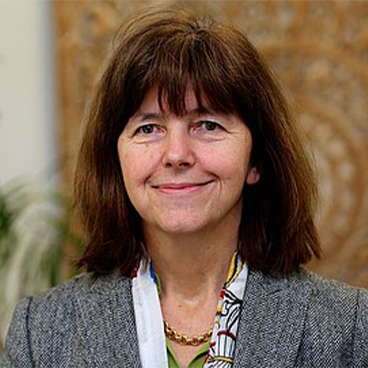
Monika Sester has been Professor of Cartography and Geoinformatics at Leibniz Universität Hannover since November 2000. In her research she deals with automation in spatial data processing - with methods from computational geometry, optimization and especially with AI methods. She and her team develop methods for processing a wide range of data, in particular movement trajectories and environmental information. These topics are also reflected in teaching on the Geodesy and Geoinformatics degree course, as well as in courses for other disciplines such as computer science, geography and mechanical engineering. Current projects focus on sustainable mobility at universities, automatic prediction of movement trajectories, and collective perception; other projects deal with the automatic provision and analysis of data in the context of geology and geothermal energy.

A DIGITAL TWIN OF THE TERRESTRIAL WATER CYCLE: THE REMOTE SENSING PERSPECTIVE
Climate change is intensifying water-related extreme events, necessitating advanced decision-support systems for effective monitoring and management. In this presentation I will present a Digital Twin prototype for the terrestrial water cycle, as currently being implemented within the ESA-funded DTE Hydrology Next project. I will focus on the question of how to integrate and leverage remote sensing data—particularly soil moisture and flood extent derived from the Copernicus Sentinel-1 mission. Our digital twin prototype combines high-resolution satellite observations with state-of-the-art hydrologic models to reconstruct multiple hydrological variables including precipitation, evapotranspiration, soil moisture, and river discharge dynamics at high spatial and temporal resolutions. Our research demonstrates novel methodologies for utilizing Sentinel-1 soil moisture data to estimate rainfall and irrigation water consumption. For flood applications, the framework employs distributed rainfall-runoff modeling enhanced with remote sensing inputs, increasing predictive accuracy throughout European river basins. The integration of traditional hydrological models with machine learning techniques and high-resolution Earth observation data allows to advance from purely descriptive analysis toward predictive and prescriptive hydrological monitoring capabilities, facilitating what-if scenario modelling.i
Brocca, L., Barbetta, S., Camici, S., Ciabatta, L., Dari, J., Filippucci, P., Massari, C., Modanesi, S., Tarpanelli, A., Bonaccorsi, B., Mosaffa, H., Wagner, W., Vreugdenhil, M., Quast, R., Alfieri, L., Gabellani, S., Avanzi, F., Rains, D., Miralles, D.G., Mantovani, S., Briese, C., Domeneghetti, A., Jacob, A., Castelli, M., Camps-Valls, G., Volden, E., Fernandez, D., 2024. A Digital Twin of the terrestrial water
cycle: a glimpse into the future through high-resolution Earth observations. Front. Sci. 1, 1190191.
https://doi.org/10.3389/fsci.2023.1190191
CV
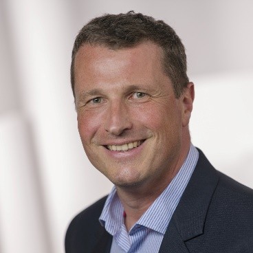
Wolfgang Wagner is professor for remote sensing and dean of the Faculty for Mathematics and Geoinformation at TU Wien, Austria. His research in active microwave remote sensing has led to several free and open data services operated within the framework of the Copernicus programme, EUMETSAT, and ESA. He is co-founder of the EODC Earth Observation Data Centre, a public-private partnership to establish collaborative cloud-based earth observation platforms and services. He is a Highly Cited Researcher in the field of geosciences.